🏕️ Recon Dossier — Coyote Flat
Interactive map
Live map — zoom/pan freely; hover roads/routes for labels. Pin = camp point · roads by difficulty for the rig: █ Easy █ Moderate █ Caution █ Avoid/closed █ Unknown (USFS OML + OSM tracks) · yellow dots = camp/rec sites · ⛽ fuel along route (● blue dot = Chevron) · 📍 live GPS (top-left) · route (toggle top-right; glows/pulses, thick): █ paved, then recolored by the difficulty of the road it follows offroad. Needs internet (tiles stream live).
Visual analysis (terrain & access)
Bottom line from the imagery: the destination looks like a genuine dispersed-camping gem; the *access* is the crux for a long van — exactly what its reputation says.
The camp zone (red crosshair) — looks great
- The candidate point sits on an open, light-toned bench — the classic Coyote Flat plateau: a mix of alpine meadow / decomposed-granite flats and scattered conifer stands. That's ideal dispersed terrain — firm open ground to pull off, trees for shelter/shade, and big sightlines.
- Multiple green MVUM roads (open to all vehicles) thread the plateau, so there are legal spurs to tuck into rather than one crowded pullout.
- It's right up near tree line, ringed by the Sierra crest — the scenery payoff is real and it's clearly remote (no development visible).
The access road — the real concern
- Trace the green route climbing in from the east/right side of the frame: it traverses steep, rugged canyon walls with tight, stacked switchbacks. This is the notorious Coyote Creek Rd (8S04) climb, and the imagery backs up the "rocky high-clearance 4×4" reputation.
- For a long-wheelbase Sprinter, the hazard isn't legality (it's open) — it's geometry: tight switchback radii, breakover on rocky steps, and shelf sections where width matters. A Jeep shrugs these off; a van does not.
- OSM tags on the upper routes already flagged
very_bad/horrible(Funnel Lake Loop, 31E305 = Avoid). Treat the plateau-top trails as no-go for the van; the goal is to reach the flat and camp, not run the rough loops.
Snow / season (July 4)
- This is ~10,000 ft. The recent coarse pass was clouded over, so I can't confirm current snow from space — at this resolution snow and cloud look identical.
- At this elevation, early-July snowmelt mud and lingering drifts on the shaded upper road are a live risk depending on 2026 snowpack. The plateau meadows can also be soft/boggy right after melt-out.
Recommendation for the rig
- Scout the climb before committing the van. Drive it slow and empty-headed about turning around; identify a bail-out flat lower down.
- Go midweek-early (Thu) — a rough access road keeps crowds low but the few good flats still go first on a holiday.
- If the road or snow looks marginal, fall back to Buttermilks/Horton Creek (graded dirt, OML-2, similar Sierra views, far easier on a long van).
Difficulty for the rig
Moderate 10 Easy 1
vs your experience: hardest here is Avoid — ⛔ harder than anything you've logged (your max is Caution) — be cautious
USFS operational maintenance level. OML 2 = high-clearance = the van's sweet spot; OML 1 = scout first.
Weather (next periods)
| When | Forecast | Temp | Precip |
|---|---|---|---|
| This Afternoon | Sunny | 78F | 1% |
| Tonight | Mostly Clear | 56F | 1% |
| Sunday | Sunny | 79F | 0% |
| Sunday Night | Mostly Clear | 59F | 0% |
Recent videos of the area
 ►
► ►
► ►
► ►
► ►
► ►
► ►
► ►
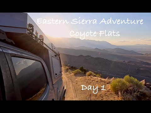
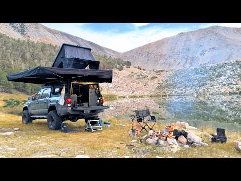
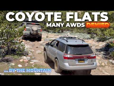
►Click a thumbnail to play inline. Newest first — the best free "trip report" for current access/snow conditions.
Backup plans (easier nearby fallbacks)
Click a backup to expand its full analysis — layer-switch satellite (Esri/NAIP) with roads overlay, difficulty, legal roads, and conditions. Ranked by van-friendly access + camping + proximity; driving legs are real-road routed (OSRM). Bailout/regroup point: Bishop.
Backup 1: near Sabrina Campground 🅿️ 28.9 mi from primary
🏕️ nearest camp ~0.0 mi 🌲 Inyo National Forest easiness 0.796 · 37.21808, -118.60682
🧭 Getting there: 🏠 home: 310.9 mi / 406 min ↩️ bailout: 18.5 mi / 30 min 🅿️ primary: 28.9 mi / 142 min
Difficulty for rig: Easy 40 Moderate 15 Caution 1
Legal roads: 31 — MOUNTAIN GLEN CG, MOUNTAIN GLEN CG, BISHOP PARK CG, UTTER TRACT, PAIUTE PASS TH PARKING, TABLE MTN GROUP CG, OLD ASPEN ROAD, BISHOP PARK GROUP CG Q-070
☀️ Dry forecast — surface conditions likely stable.
🔥 No active wildfire perimeters within range.
Backup 2: near North Lake Campground 🅿️ 30.8 mi from primary
🏕️ nearest camp ~0.0 mi 🌲 Sierra National Forest easiness 0.777 · 37.22741, -118.62681
🧭 Getting there: 🏠 home: 312.8 mi / 412 min ↩️ bailout: 20.3 mi / 36 min 🅿️ primary: 30.8 mi / 148 min
Difficulty for rig: Easy 41 Moderate 6 Avoid 1
Legal roads: 20 — BISHOP PARK CG, PAIUTE PASS TH PARKING, BISHOP PARK GROUP CG Q-070, PAIUTE PASS TH PARKING, LAKE SABRINA CG, NORTH LK PARKING, BISHOP PARK CG SPUR Q-070, INTAKE 2 CG
☀️ Dry forecast — surface conditions likely stable.
🔥 No active wildfire perimeters within range.
Legal to drive — MVUM (12 segments)
| Road | Designation | Season |
|---|---|---|
| MORAINE PICNIC | Roads open to all Vehicles, Yearlong | yearlong |
| BISHOP CRK ENTRANCE STA | Roads open to highway legal vehicles only, Yearlong | yearlong |
| COYOTE FLATS | Roads open to all Vehicles, Yearlong | yearlong |
MVUM is the legal authority for motorized use. Dispersed camping is generally allowed on NF land near open roads (commonly within ~150-300ft) unless the forest restricts it to designated corridors — verify on that forest's MVUM.
Before you go
- Camp in previously-used sites near open roads; confirm dispersed rules on the forest's MVUM.
- CA campfire permit required for any stove/fire; July fire bans are common — check the forest's alerts.
- Check the forest's 'Alerts & Notices' at fs.usda.gov for active closure orders
Free satellite imagery cannot resolve ruts, washouts, or rock ledges. Recent imagery is too coarse for road detail; high-res imagery is not current. Treat the visual analysis as terrain/route guidance, not a current trail report. Scout rough access in person.